|
The Massif of Sirino |
 |
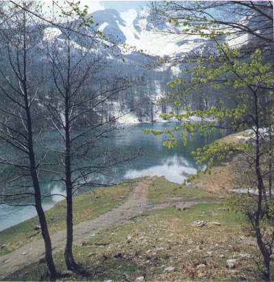
The relief has been
eroded by an ancient glacier and, nowadays, it is furrowed by several engravings
occupied by waterways. On its ridges there are the watersheds of Agri, Calore,
Noce and Sinni rivers.
Three small lakes,
Laudemio, Sirino and the glacial Zapano, lie along its slopes.
Sirino territory is
divided between 5 neighbouring towns: Lauria, our borough, stretches on the
south-east slope; Nemoli, on the south; Rivello, on the south-west; the western
slope is occupied by Lagonegro and the northern one by Castelsaraceno.
|
|
|
|
The Pollino National Park |
 |
Following the A3
Salerno-Reggio Calabria motorway towards South, we easily get, from Lauria, to
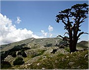
the Pollino National Park: it is the largest protected area in Europe and its
symbol is the Loricato pine. |