|
|
PROGRAM SCREENSHOTS
Version 1.6
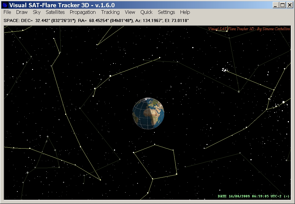
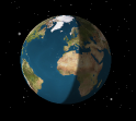
Fig 1. A 3D representation of
stars and the Earth.
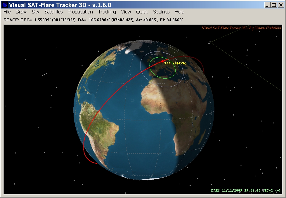
Fig 2. The Orbit of the International Space Station.
Fig 3. The planes of the GPS
satellites.
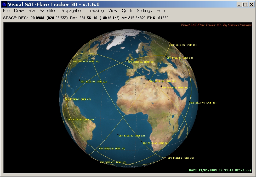
Fig 4. The projection on the
ground of the GPS satellite planes.
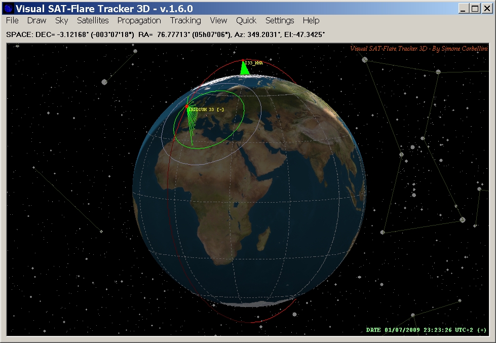
Fig 5. Iridium 33 and
a possible large fragment of its Main Mission Antenna.
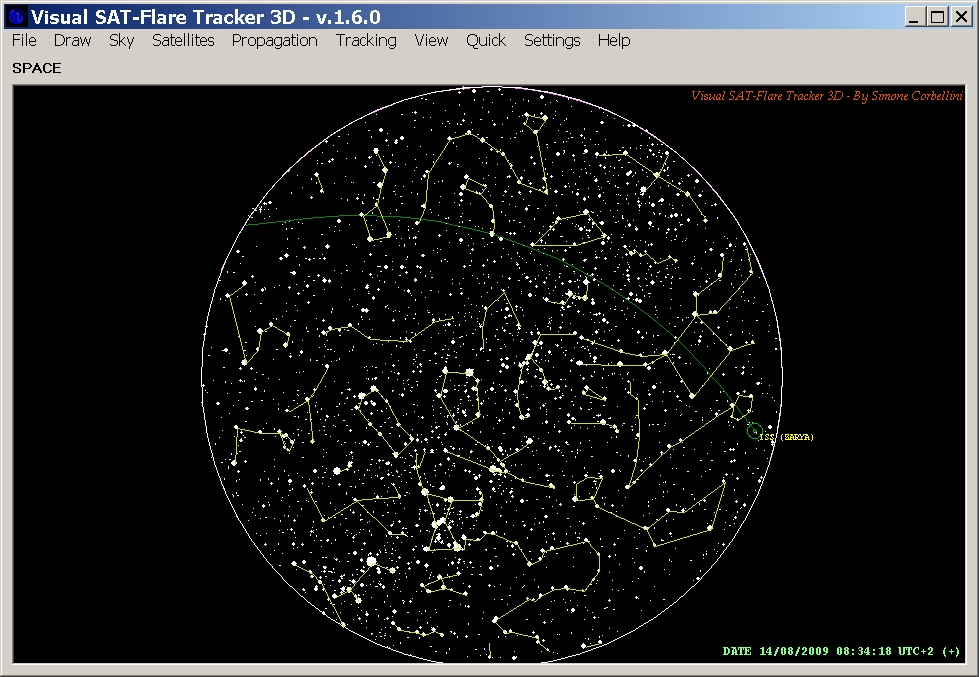
Fig 6. The orbit of the
International Space Station projected in the sky.

Fig 7. Horizon View.
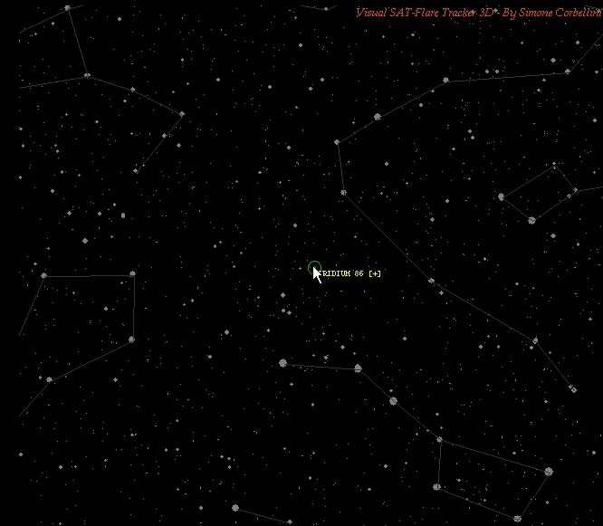
Fig 8. Example of horizontal
satellite tracking (binocular view). Click on the picture to start the
video.
Old and New Features of version 1.6.0
(Not available):
- 3D
/ 2D graphics
- Globe with
realistic texture and country borders
- Stars
up to magnitude 10 (about 100.000 stars)
- Improved
stars representation
- More
than 1.000 satellites
- ECEF
(Earth Centered Earth Fixed) 3D orbit plotting
- Ground
Track plotting
- Sky
Chart plotting
- Lock View
on Satellite with 3D, skymap, and horizon views.
- Real time capability (up to 20 FPS)
- Floating
Coordinates Capability (for site searching)
- Transit
search across Sun / Moon
- Ground
Track of Transit Visibility
- Horizon
view
- Visibility
circle plotting
- SGP1,
SDP4/SGP4 Orbit propagation models
- Visual
Flare representation
- Sun/Moon
Light source for flare plotting
- Flare
ground track plotting
- KML
Flare/Transit Track Format (for Google Maps / Google Earth)
- City
along track search (more than 80.000 cities)
- Satellite
surface modelling (mirrors)
- Automatic
orientation of surfaces to flare
- Flare
Prediction
- Graphically
generable IOD reports
- Up
to 10 programmable user views
- Load/Save
Workspace capability
By
Simone Corbellini
|
|
|