INDAGINI ARCHEOLOGICHE A TELL AL-MASHHAD
ARCHAEOLOGICAL INVESTIGATIONS AT TELL AL-MASHHAD
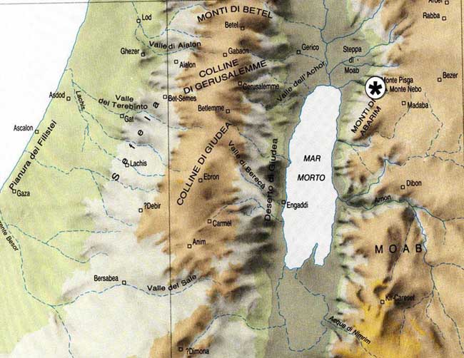
The localization of the site of Tell al-Mashhad.
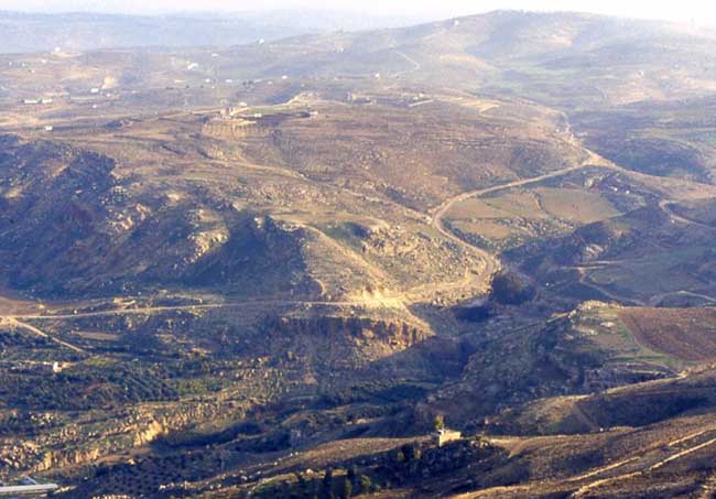
Tell al-Mashhad seen from Mount Nebo.
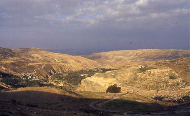
The 'Ayun Musa Valley, from East; on the right, Tell al-Mashhad; on the background, the Jordan Valley.
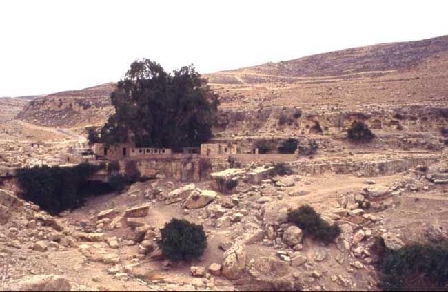
The perennial spring of 'Ayun Musa ("The Spring of Moses").
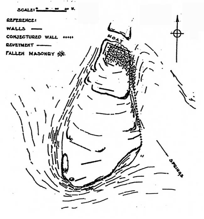
The Tell al-Mashhad sketchplan, drawn by N. Glueck (1932).
Fgg. 6 e 7:
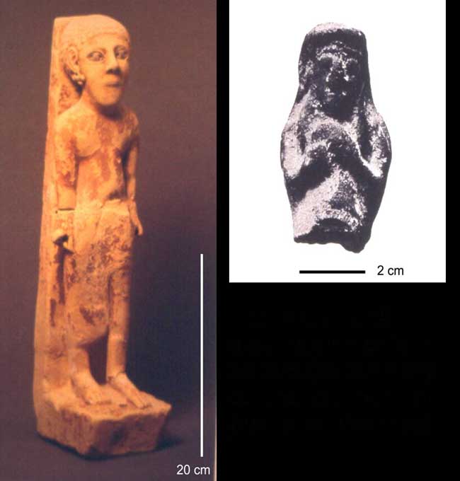
Una statuina ammonita in calcare (da ’Amman) ed una figurina
fittile (da Tell al-Mashhad).
An Ammonite limestone sculpture (from 'Amman) and a clay figurine (from
Tell al-Mashhad).
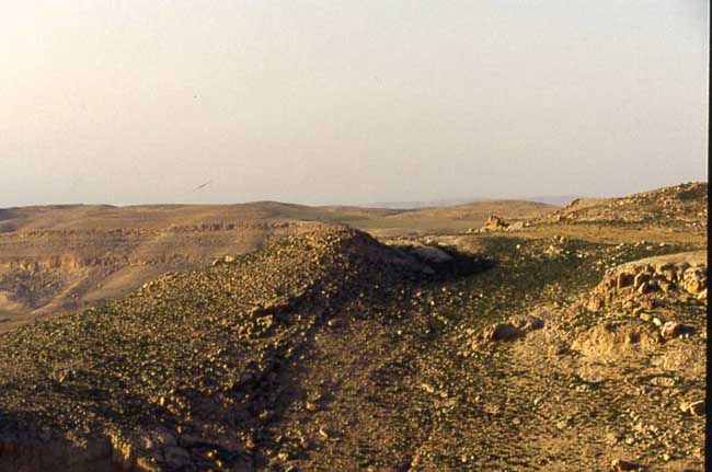
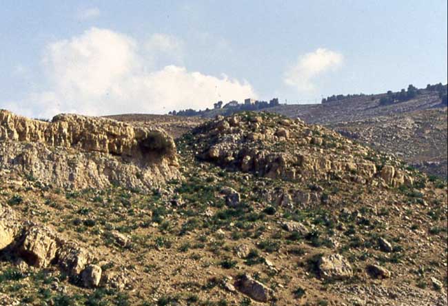
Fig. 8: Panoramica del tell, visto da est.
View of the tell, from East.
View of the tell, from East.
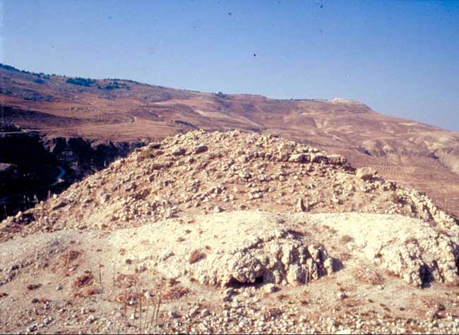
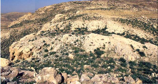
Fg. 9: La sommità del tell, da
nord.
The top of the tell, from North.
The top of the tell, from North.
10
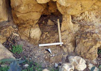
Fg. 10: La possibile porta della fortezza, da
ovest.
The possible gate of the fortress, from West.
The possible gate of the fortress, from West.
Fg. 11: La stessa, sulla sinistra, da sud.
The same, on the left, from South.

Fgg. 12-13
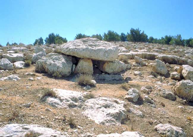
Fig. 14: Wadi Musa, dolmen.