| |
From
the parking we return in SS42, and climb to the Tonale Pass.
After about 1 km overVermiglio, on the right, comes off
a dirt track signposted Malga Verniana and Saviana. Take
the second bend and keep us on the left in parallel following
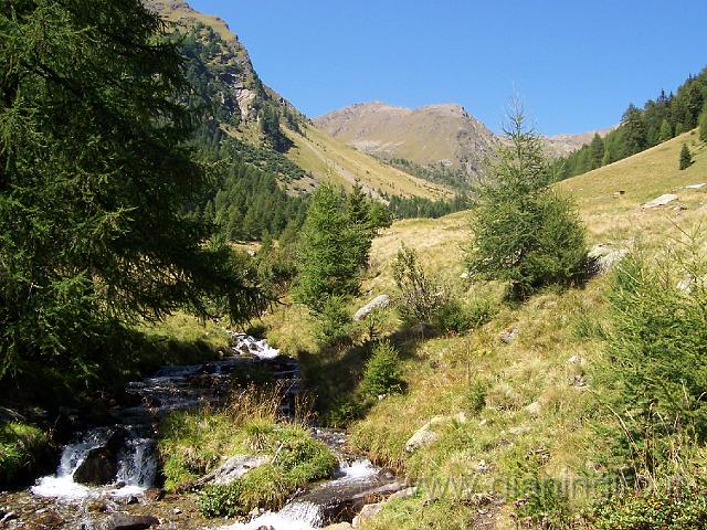
the ascent of the valley towards the Tonale. The direction
is the Strino Valley and the slope gradually increases as
you get closer to the valley. After passing a track that
leads to Fort Strino, we enter in Valle Strino until you
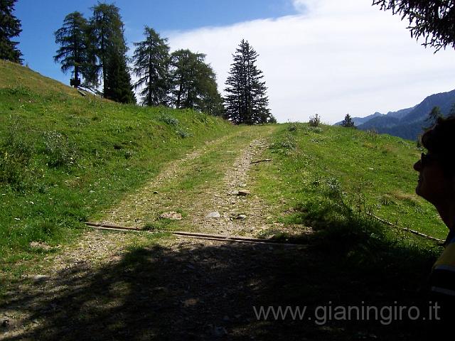
come to right and take the dirt track (display in black
"Cedron") to Malga Mezzolo. When we reach Malga
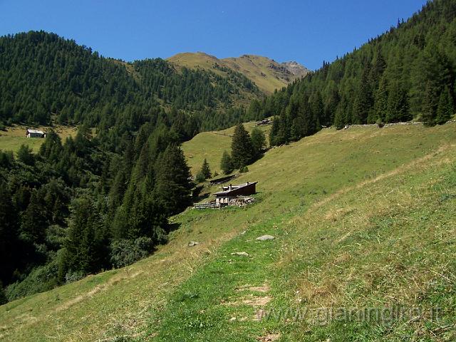
Mezzolo, the trail becomes a path always indicated "Cedron"
and ending with a ford around Malga Verniana. Follow the
"Cedron" going over Malga Saviana and Malga Boai
before declining in Vermiglio and reach the parking.
|