|
|
From
the parking in Sils we're moving in the direction of Maloja
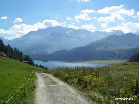
for a couple of km on the national road along the lake.
In Plan da Lej we turn left on a dirt road.
The road climbs to bends and, beyond
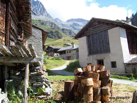
a wood, you can vaguely see the first houses of Grevasalvas,
a small and pleasant group of huts lies on a valley meadow.
Exceeded the houses, we continue our
dirt still climbing. After about 1 km we can reach the huts
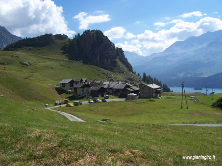
of Blaunca. Now the road begins to descend and just after
becomes path.
Pedaling begins to become difficult,
in some point it is advisable to walk.
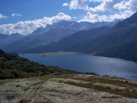
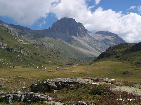
The view is considerable, we see throughout
the Upper Engadine.
Let's follow the obvious path untill
we cross the highway near Maloja. We continue in direction
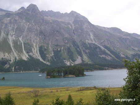
of St. Moritz and, to the top of the lake, we turn right.
Along the shore, we reach the village of Isola. Following
the indications, we come back in Sils on a small cycle track
that runs hight almost steeply on the lake. |