| |
Following Malgalunga indications
we get on discrete slope the Valpiana.
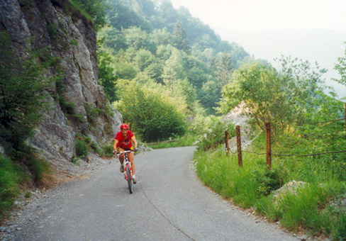
After 10 km of asphalt we
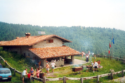
can see the Rifugio Malgalunga (1200 m.). Continuing
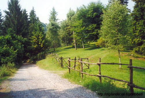
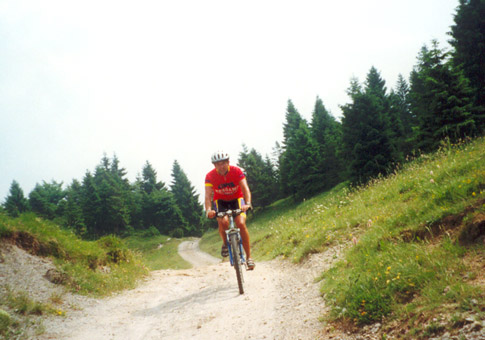
on a dirt road without the possibility of error we go up
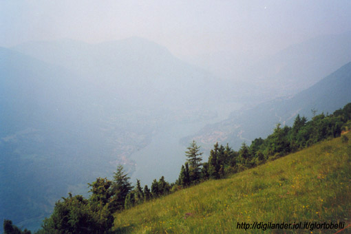
the ridge south of the valley that overlooks the lake of
Endine at the height of Pozza dei Sette Termini, highest
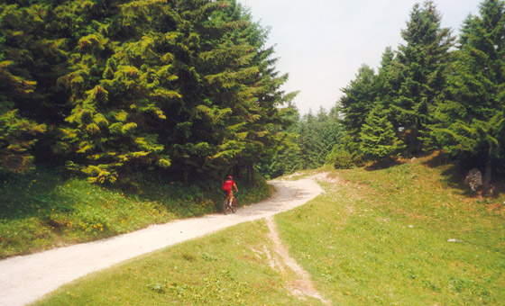
point of the route. We turn
left down on single-trak (attention to some technical steps)
until you cross one dirt road of recent construction which,
taken towards right the turning point through the ridge
between the Val Gandino and the below Val Cavallina, brings
us back in Val Gandino. Exceeded the country of Peia we
come back in the valley bottom of Gandino.
NB: given that on the route
there isn't, it's advisable to take water on departure.
|